

Google Street View has taken us trekking alongside Sherpas in the Himalayas and on sled-dog rides in remotest Canada. Now the company is expanding its immersive photo project's underwater offerings.
The famous Trekker camera backpack works well on land, but to capture underwater imagery Google contracts with seafaring organizations that employ special equipment. That includes the ocean-monitoring , NOAA’s ; and the island reserve, . The company on Thursday released images from more than 40 locations around the globe in celebration of World Oceans Day on June 8.
As with Google’s other special projects (memorable: zip-lining in the Amazon), the views are for more than just fun. “Each image in Google Maps is a GPS-located digital record of these underwater and coastal environments, which can be used as a baseline to monitor change over time,” , Google Ocean program manager. And, of course, they’re meant to inspire. So do your part and feast your eyes on our seven favorites.
Giant Ocean Sunfish (Mola Mola)
Captured off the coast of Bali, May 2015
Giant Parrotfish
Captured off the coast of Bali, August 2014
Humpback Whales
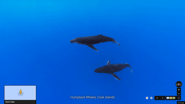
Captured off the coast of the Cook Islands
Coral Reef Bleaching
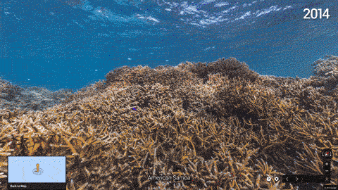
Captured in American Samoa
Sea Turtle
Captured near the Solomon Islands, May 2015
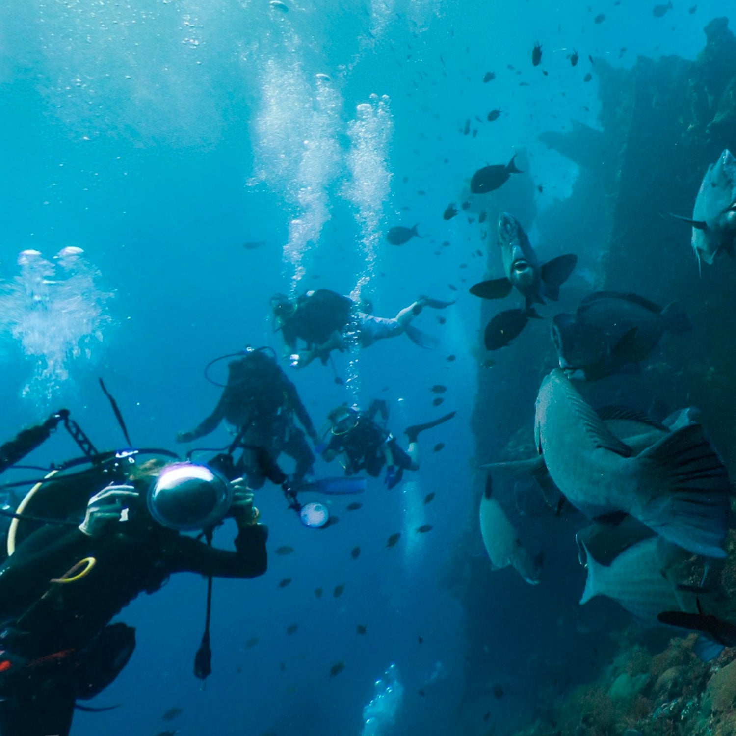
Shipwrecks
Captured in Aruba, May 2015
Ile du Sel Island
Captured in the Chagos Islands, February 2015