

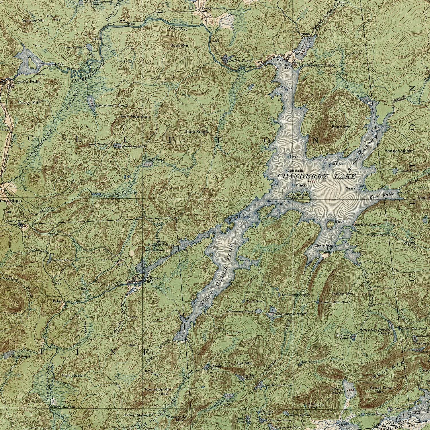
A detailed representation of a landscape, created by the , and a rare example of something every bit as beautiful as it is useful. The charts were the brainchild of , the explorer who made the first European passage through the Grand Canyon in 1884. Trading on his newfound influence, he successfully persuaded Congress to establish a corps of topographic engineers to draw up a national system of maps. From 1884 to 1894, Powell’s division mapped over 600,000 square miles of territory. The original topographical maps (called “topos”) were primarily made in the field using tape, a compass, and an aneroid barometer, which measures air pressure to detect changes in elevation. By the 1940s, aerial photographs were used. Survey teams documented man-made and natural features, hiked mountains and trails, and even verified place names by interviewing local residents. The resulting maps were richly detailed, valued by those who frequented the backcountry, and occasionally hung on dorm-room walls.
In 2008, in favor of computer-generated renderings that used satellite data in place of fieldwork. The new maps are faster to produce, but they’ve been criticized for inaccuracy and lack of detail. (Satellites tend to miss things like power lines and railroad tracks.) Furthermore, serious adventurers scoff at the new shaded-relief versions of the maps. A contour map can be read upside down or sideways, allowing users to match a map’s position to their own, whereas the hill-shaded versions depict all slopes from a northwest aspect, which can cause peaks to look like valleys unless looked at from that orientation.
Paper maps can still be bought at most outdoor stores or through the . The digital versions are available through the , which allows users to navigate even without cell service—at least until the battery runs out.