

Google Earth has long offered a feature that allows users to see changes to a particular geographical region over a period of years. It’s fun to play with, but also an important tool because it allows us to see environmental degradation in real time. This week, the tool got even better, thanks to clearer images and an expanded timeline.
Google added four additional years, so now the timelapse feature stretches all the way back to 1984. Additionally, the company uploaded imagery from new and improved satellites and combed through three quadrillion pixels (that’s 3,000,000,000,000,000, in case you were wondering) to make sure there weren’t clouds or haze in any of the images. They then made one gigantic (3.95 terapixel) interactive image of the Earth for each year. You just zoom in on a place you’re interested in and you can scroll through the timeline and see what it looked like in each of those years or click play and watch three decades fly by.
The things you can see are amazing.
Wright, Wyoming
You can watch coal mines snake outward like veins.
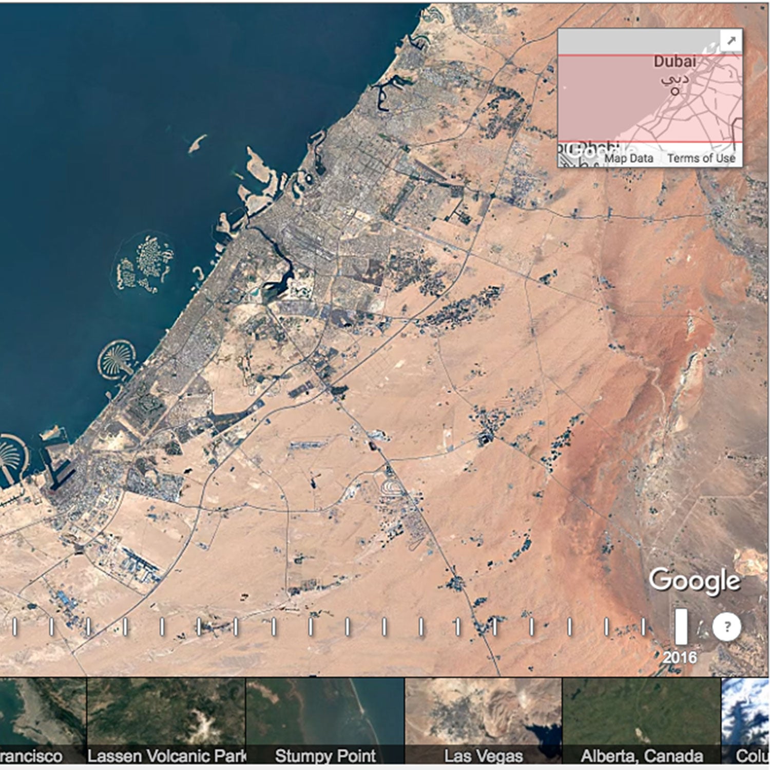
Dubai, UAE
You can watch huge, inhabited islands get built from scratch.
Las Vegas
You can watch Las Vegas expand at a rate you wouldn’t think possible.
Lake Mead
Las Vegas' water supply.
�Ұ����Ա����Ի�'����������Dz����������ұ����������
The difference between 1984 and 2016 is shocking. It’s one of the planet’s fastest-melting glaciers, but it certainly has company.
Antarctica’s Pine Island Glacier
Antarctica’s Polarforschung Glacier
If you scroll by hand you’ll see that suddenly, around 2004, the ice starts flowing out to sea like liquid.
Alaska’s Colombia Glacier
It’s just as scary close to home. Take a look at how far this Alaskan glacier has retreated.
To start exploring yourself, you can find the tool . Google has also listed some additional timelapse locations they suggest you check out as part of a ������.��