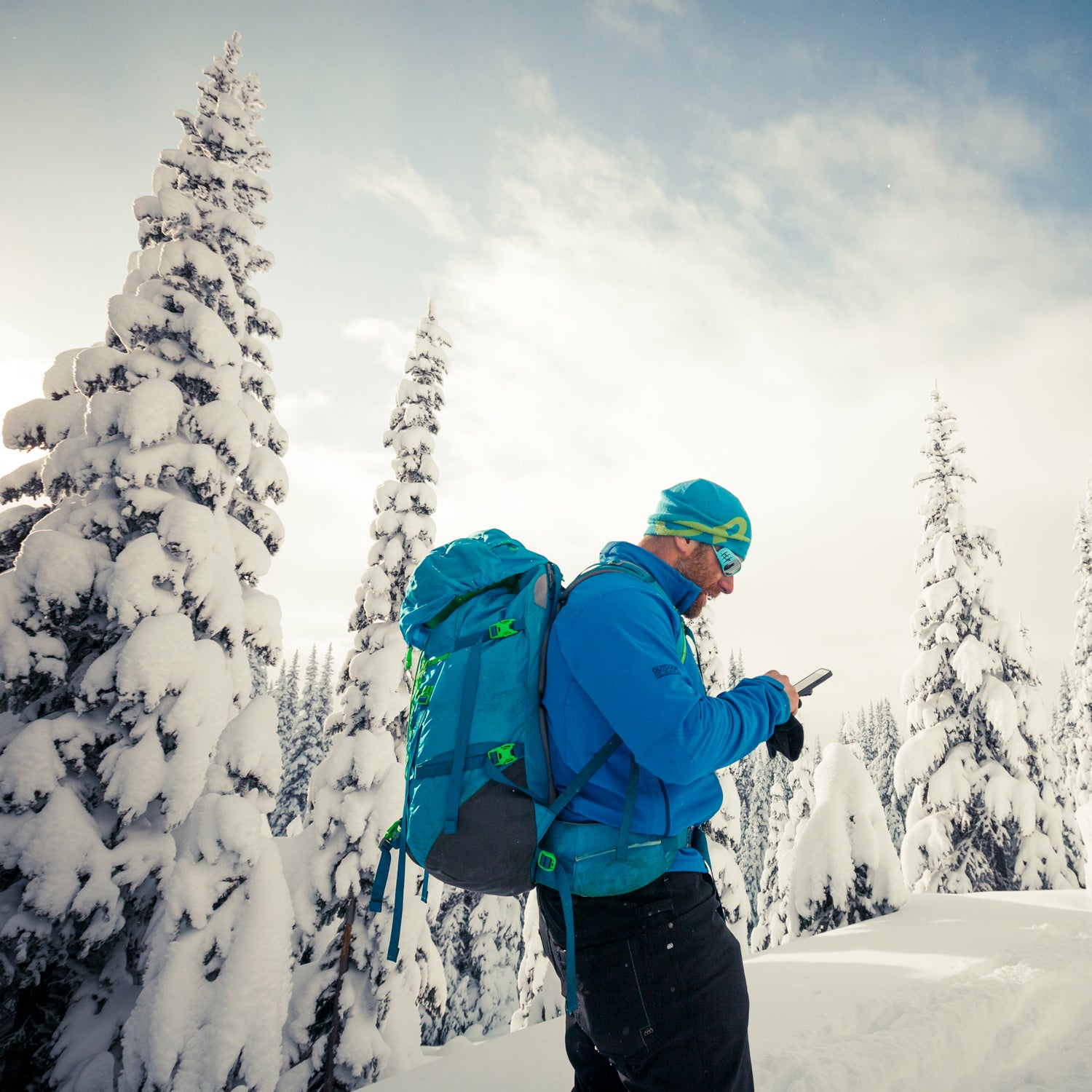
I love to ski, but between the storm tracking, time in a car, expensive lift tickets, and danger (both inbounds and out), this sport can be a pain in the ass. One way that I’ve made the whole process more manageable is to rely on a series of useful winter apps. Of course, they don’t replace good decision making, but they have made things easier. Here are my six favorites.
NOAA Weather Radar (Free)
I start my storm tracking with , which does a fairly good job of predicting how much snow will fall at my local hill. But I always cross-check its reports with so I can see the storm myself. It can be intimidating to read radar, but here are a couple tips: Pay attention to the elevation feature, which tells you how much snow you can expect in town versus up at the hill. Also watch the precipitation levels (how much snow NOAA predicts) as a way to double check what other apps might be reporting.
Liftopia (Free)
is an online marketplace for discounted lift tickets. You can usually find daily passes for 20 to 50 percent off face value. The app doesn’t cover every resort, but it works with many of the biggies like Whistler and Aspen, as well as some small local hills like Mount Ashland and Wolf Ridge. Liftopia is best for those visiting places like Lake Tahoe or Salt Lake City, where there are several resorts to choose from and you can shop around for the best deal.
Waze (Free)
Most states have Department of Transportation websites that list road conditions around your local hill. I’ve found these hard to use on my phone, so I prefer , which creates road condition reports based on crowdsourced information—other drivers ahead of you input that information into the app. Waze also tracks traffic so you’ll know if it’s a parking lot on the ski hill road.
GPS on Ski Map by Maprika (Free)
When I’m exploring new resorts, I use to download a trail map beforehand so I’m ready to shred once I get on the lift. Fumbling with a paper map when I get there is a waste of time, especially on a powder day. The app also tracks your overall vert and highest speed and creates a GPS trail of where you skied that day.
Gaia GPS (Free)
I use paper topo maps in the backcountry—and I make sure to go with someone who knows the area if it’s my first time—but I use as backup. It tracks my distance and vert, but the app also allows me to download digital topo maps and set waypoints where the skiing is good or where I need to remember something like a slide path or terrain trap. I also set a waypoint at the beginning for my car, so if I get lost, the app can guide me back. Heads up: don’t let the GPS run all day, because it drains your battery. Use the GPS function only when you need to drop a waypoint or orient yourself.
Mountain Hub (Free)
Many states have avalanche information centers that give a daily danger report. supplements those reports by gathering additional information from regular skiers in the field. App users can list observed natural slides, wind speed, snow depth, and even pit information, giving you lots of useful data before you head out. You can make your own observations and upload them to the app as well. Mountain Hub includes lots of other useful features, like a topo map overlay with info on slope angle, so you can tell how steep a pitch is before you ski it. The developers plan to add a route-tracking feature in coming months.


