
The��mountains of the Tour de France determine the winner of the stage race. It isn't until��the peloton hits the��craggy peaks of the Alps and Pyrenees that the GC starts to shake out and it becomes clear who the strongest riders are.��If you've ever wondered how you'd��stand up to those leg-burning��beasts, you're in luck. (And you don't even have to travel��to Europe.)��We took four iconic��climbs of the 2016 Tour and compared them to U.S.��ascents. Hill climb, anyone?��
Col du Tourmalet to��Mount Baldy Road, Claremont, California
The��Tourmalet��is the most climbed pass in the history of the Tour,��with 78 ascents including two different stages in both 1974 and 2010. The Mount��Baldy��climb in southern California is a hallmark of the��Amgen��Tour of California. It's steep at the bottom and the top,��with a heart-breaking��kicker to the finish. An��ascent under two hours is considered fast. Under an hour and you're��Tour-caliber.��
Col du Tourmalet
Length: 11.8 mi
Base elevation: 2312
Summit elevation:��6938
Total gain: 4626 ���� ��
������������������������: 7.4%
Max grade: 11%
Mount Baldy
Length: 12.9 mi
Base elevation: 1644���ڳ�
Summit elevation: 6419���ڳ�
Total gain: 4775��ft ����
������������������������: 7.0%
Max grade: 15%
Col d'Aspin to��Rabbit Ears Pass, Steamboat Springs, Colorado
While the Col��d'Aspin��doesn't have the huge elevation gains of the��Tourmalet��or��Ventoux,��it's consistent 6.5 percent��grade has exposed the weaknesses of Tour contenders since its��first inclusion in 1910. Rabbit Ears Pass offers the same steady grade as it climbs out of Steamboat Springs to its western��summit. A time under 45 minutes is excellent.��Under one hour and you're at the top of the amateur pack.
Col d'Aspin
Length: 7.3 mi
Base elevation: 2312��ft
Summit elevation: 4888��ft
Total gain: 257��6ft ���� ��
������������������������: 6.5%
Max grade: 9.5%
Rabbit Ears Pass��(West)
Length: 7.4 mi
Base Elevation: 6925 ft
Summit elevation: 9394��ft
Total gain: 2469��ft
������������������������: 6.3%
Max grade: 8%
Mont Ventoux to��Onion Valley Road, Independence, California
Mont��Ventoux��is nicknamed the Giant of Provence for good reason. From��Bedoin,��on its south side,��the��landscape looks lunar, providing��little respite from the long, unrelenting ascent. Onion Valley Road is considered one of the hardest climbs in the country.��The altitude, summer heat,��and steep, relentless��grade make this a genuine��sufferfest. Bring low gears.��If you can tackle this beast in under two hours, consider racing in Europe.��
Mont Ventoux
Length: 13.3 mi
Base elevation: 984��ft
Summit elevation: 6272��ft
Total gain: 5288��ft ���� ��
������������������������: 7.5%
Max grade: 12%
Onion Valley Road
Length: 12.5 mi
Base elevation: 3994 ft
Summit elevation: 9163 ft
Total gain: 5169��ft ���� ��
Average grade: 7.8%
Max grade: 12%
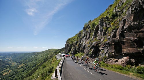
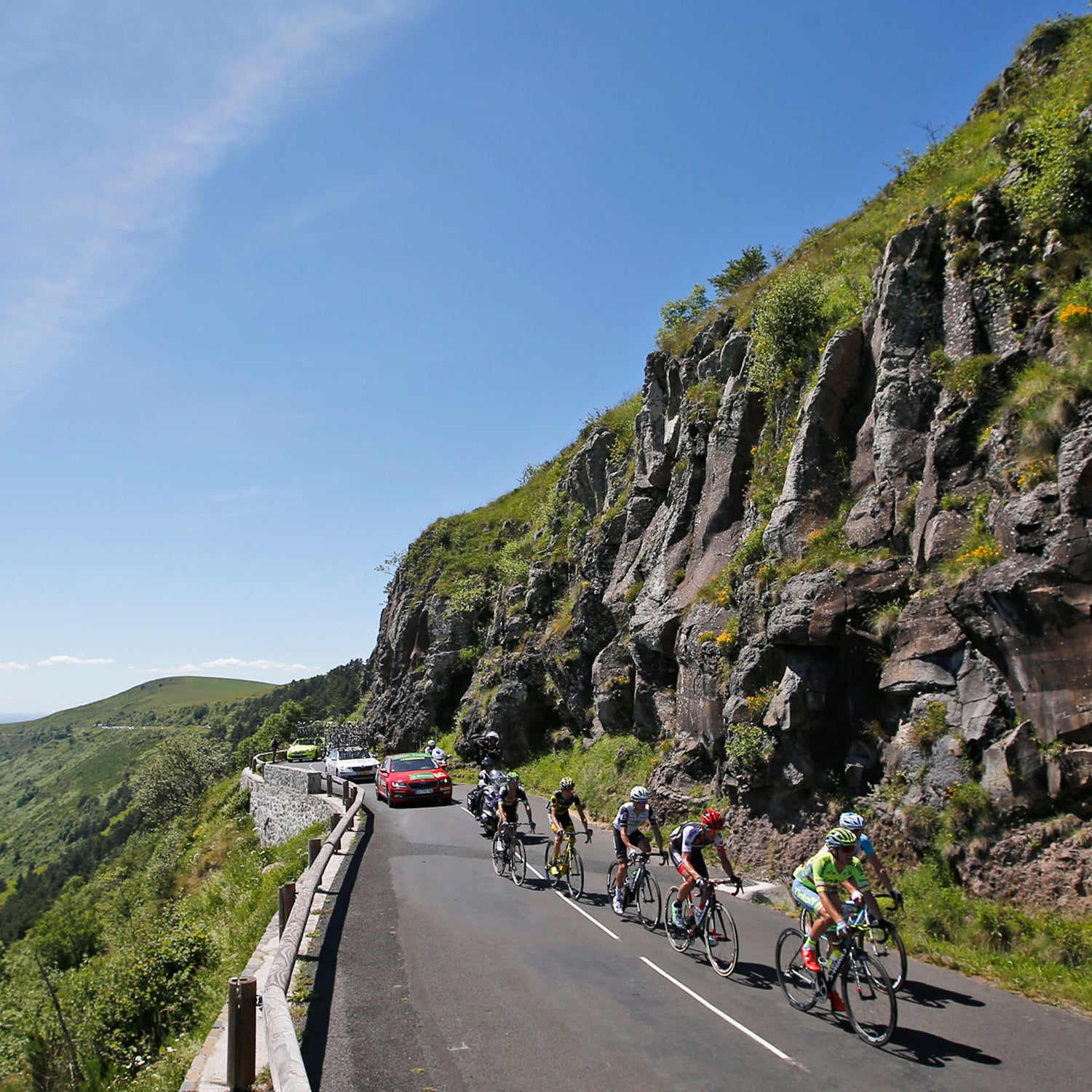
Col de la Ramaz to��Little Cottonwood Canyon, Salt Lake City, Utah
The Col de la��Ramaz��is gaining popularity,��having appeared in three of the past 13 Tours.��It has a particularly nasty section of 9 to��11 percent grade, much of��which is inside a tunnel.��The Little Cottonwood Canyon climb,��a fixture of the Tour of Utah for many years, has��like the��Ramaz, a section in the middle called Tanner Flat that's��especially taxing. Completing the ascent in under an hour is exceptional. If you can do it under and hour and a half,��you're still��looking good.��
Col de la Ramaz
Length: 8.6 mi
Base elevation: 2076��ft
Summit elevation: 5311��ft
Total gain: 3235 ft ���� ��
Average grade: 7.1%
Max grade: 11%
Little Cottonwood Canyon
Length: 8.6 mi
Base elevation: 5140 ft
Summit elevation: 8530 ft
Total gain: 3390 ft
Average grade: 7.5%
Max grade: 10%