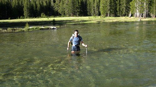
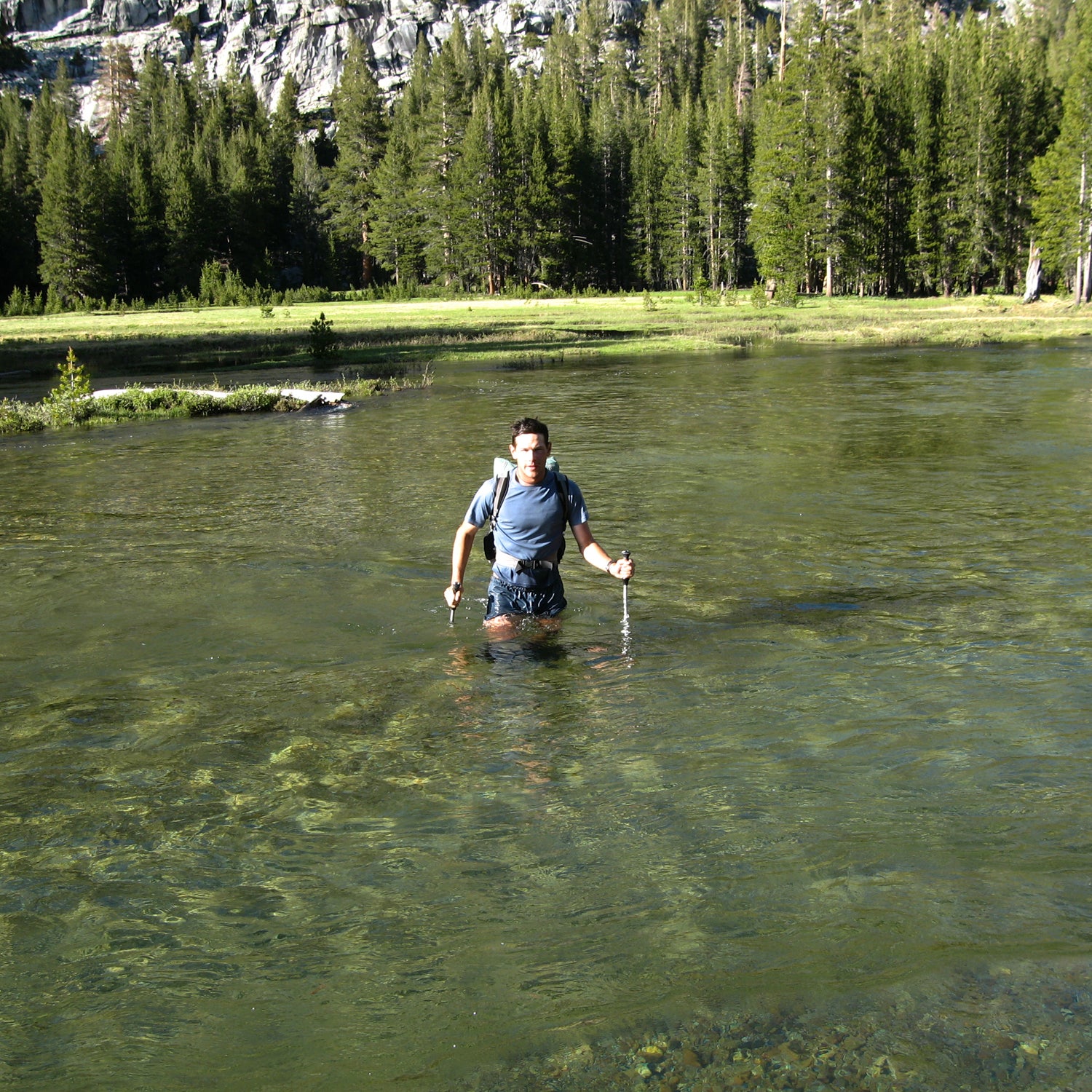
Every spring, creeks in the High Sierra rage with snowmelt. For one to two months, they are a grave danger, especially after wet winters like 2018–19. Backpackers can still hike, camp, and explore safely, but they should be aware of and respect this hazard.
Swift and deep creek crossings will be found throughout the range, including but not limited to:
- Yosemite National Park
- Sequoia–Kings Canyon National Park
- The John Muir Trail
- The Pacific Crest Trail
- The High Sierra Trail
- The Rae Lakes Loop
- The Yosemite High Route
- The Kings Canyon High Basin Route
On this page, you’ll find a list and a map of known creek hazards. It’s designed to keep backcountry users safer by highlighting problem spots and identifying wiser alternatives.
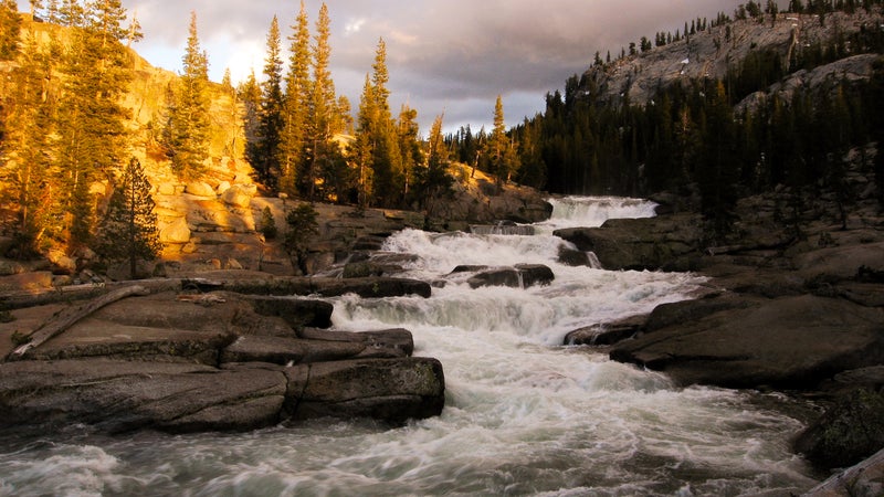
About Peak Runoff
Creek crossings in the High Sierra warrant your attention. This hazard is caused by a unique set of circumstances:
- Significant wintertime snowfall
- The arrival of hot and sunny weather in late spring
- Steep gradients
- Few bridges
- Recreational use miles downstream from a creek’s headwaters
- Nonporous granite substrate
Water levels normally peak in late May and June. But after wet winters and cool springs (like we just had), they can be delayed or remain elevated into July. On a typical warm and sunny day, creeks rise and fall considerably. They are highest in the early evening, swollen with an entire day of melt, and lowest in the morning, after a night of near-freezing temperatures.
I’ve already written an in-depth tutorial about valuable . In short, it’s helpful to use trekking poles and to cross in your hiking shoes. But the following are even more important:
- Plan crossings in the morning, when flows are relatively low.
- Identify and use safer crossing points.
- Cross larger creeks where they are braided, or take on their tributaries independently further upstream.
- Find snow bridges and log bridges and jams.
- Cross with other hikers, as matter of safety and sometimes stability.
For current stream flows, refer to the California gauges linked below. Even if they are not on your route, they’ll give you a sense of real-time conditions.
- (at Kernville), which drains the southernmost High Sierra
- (at Three Rivers), which originates upstream of Lodgepole Campground and Kaweah Pass (on the High Sierra Trail)
- (at Road’s End), which is downstream of Forester Pass, Rae Lakes, and Muir Pass
- (at Happy Isles), which captures melt in the southern half of Yosemite
- (at Tuolumne Meadows), downstream of Lyell Canyon and Donohue Pass
Warning
The following list and map of creek hazards are increasingly comprehensive and accurate, but they are not perfect. Some dangerous creeks are not included, and some information may be incorrect or out of date.
I am providing these resources for the public good, but ultimately, you are responsible for your decisions and safety.
List of Creek Hazards
To make this list most useful to the largest number of backpackers—who overwhelmingly start and finish at the same trailhead, stay within one land-management jurisdiction, and follow unbranded routes—I have decided to organize it by agency.
But in recognition of the popularity of trade routes like the Pacific Crest and John Muir Trails, and as an additional resource for my and , I have included dedicated columns for these trails and routes, to allow for quick filtering of applicable crossings.
To open this list in a new window, .
Map of Creek Hazards
To open this map in a new window, .
The default layer is the USGS 7.5-minute map series. But I recommend using the more updated FSTopo 2016 layer for trips in or through national forests.
How to Use These Resources in the Field
This list and map were updated on July 10 and will be again before the 2020 season.
List
For a PDF of the list that you can print or download to your smartphone, .
To create your own copy of the spreadsheet that you can tailor to your itinerary and then print or download, either:
- Sign into your Google account, , and then select File > Make a copy; or
- Download it as an .
Note: After creating your own copy of this file, additional updates to my master spreadsheet will not automatically download to yours.
Map
To bring this map (or its data) into the field:
- to start, which will open the map in a new window.
- Under Export, select Download GPX file.
This downloaded GPX file can be:
- Opened on your smartphone, with an app like GaiaGPS
- Loaded onto a handheld GPS unit
- Uploaded to an online mapping platform (I highly recommend ), where you can edit and print it
As with the list, your GPX copy will not update with changes that are made to my master map.
Contribute to This Resource
This resource needs your help. While I have hiked extensively in the High Sierra, I cannot speak confidently about every creek crossing.
Please share your experience to help make this a more accurate and thorough document, ultimately helping to keep hikers safer.
and please include:
- The creek name
- A description of or GPS coordinates for the location
- Its jurisdiction (e.g., Yosemite National Park, Sequoia–Kings Canyon National Park, Inyo National Forest)
- A description of the crossing, including its watershed size, swiftness, underlying bed surface, and overall risk level
- Potential safe alternatives, including GPS points if they’re available