

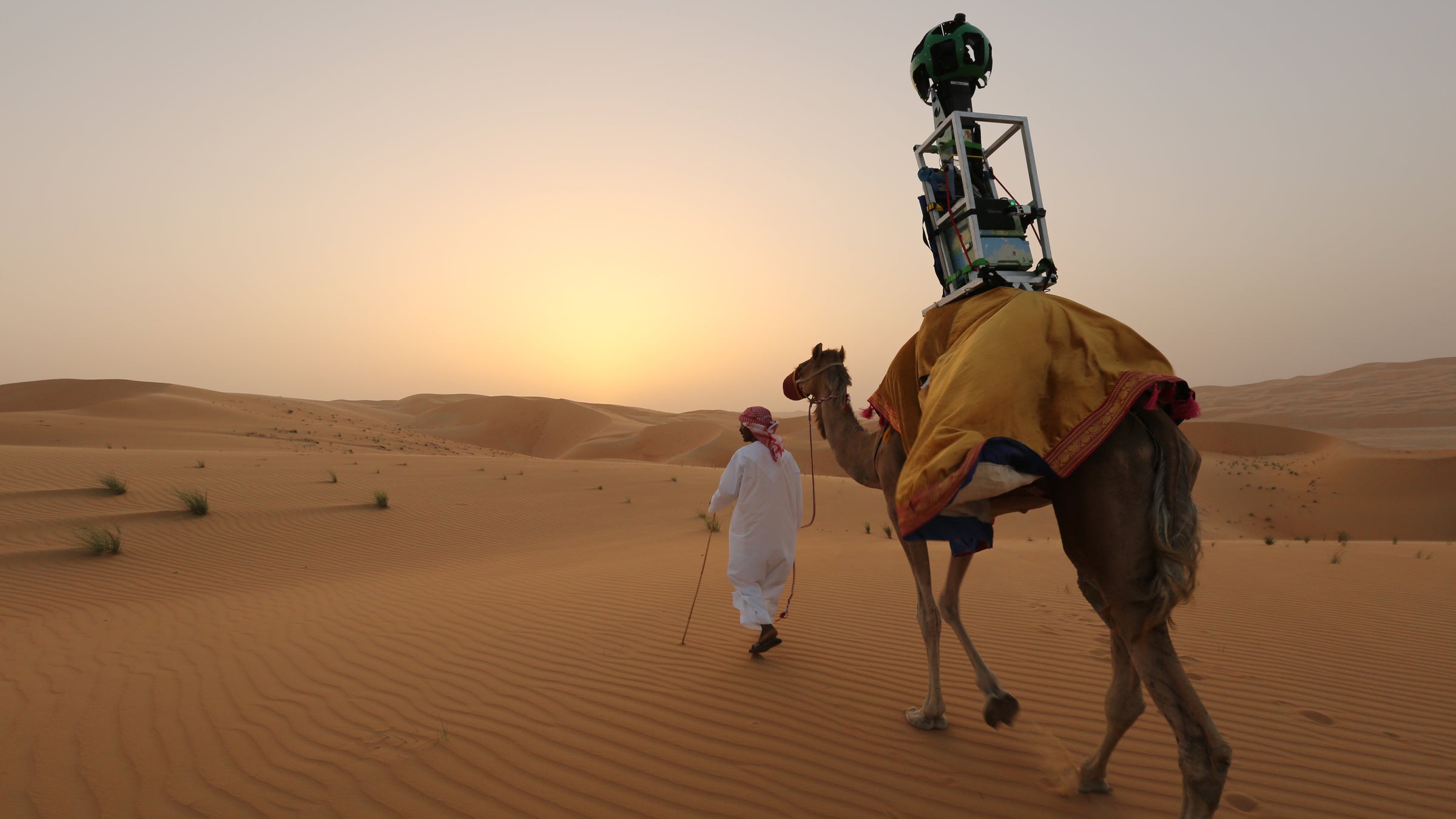
Google recruited a 10-year-old camel named Raffia to gather Street View images of the Liwa Oasis, a crescent-shaped region 125 miles from Abu Dhabi. Google spokesperson Joyce Baz that this was the first time the tech company has used an animal to gather ground-level images. The vast majority of pictures gathered by Google’s global mapping project are taken with a camera affixed to the top of a car.
“With every environment and every location, we try to customize the capture and how we do it for that part of the environment,” Baz was quoted as saying. She described the choice of a camel as “the best, most authentic, and least damaging way” to capture the area and share it with Google users around the world.
Beginning in early morning, when the weather was clearest, an Indian guide took Raffia around the Liwa with a backpack-mounted Street View Trekker, a piece of equipment used for taking images in places that are inaccessible by car. (The apparatus is widely available for researchers and nonprofit-minded explorers interested in lending a hand to .) Once collected, the pictures were stitched together to create the that users from around the world can navigate.
This addition to the Street View archive is the third to be shot in the UAE, following the Sheikh Zayed Grand Mosque in Abu Dhabi and the Burj Khalifa in Dubai. Baz told the National she believes it will help draw visitors to the country’s many cultural and geological marvels. “Liwa is a highly touristic site and is growing in popularity,” she said of the area, which is known for its camel races and an annual date festival. “We think this really helps people check these locations out before they come to visit.”