

Maps don’t always tell the truth. Maybe you already knew this. Maybe, like me, you’ve ended up in the sort of road-to-nowhere predicament that only a willfully oblivious reliance on Google Maps can achieve. The left turn onto a dirt road that is supposedly a shortcut in reality leads the wrong way into the middle of nowhere on a quarter tank of gas.
We place so much blind faith in maps—we assume that the size of a town, shape of a continent, or length of a trail is true and fixed. But maps are created from data, and data is collected by humans. If we get the data wrong—say, the or the precise bend of a river—then our map will be inaccurate.
Maps lie in many other ways, too: with symbols, through generalizations, because of scale, by omission. Italian physicist Carlo Rovelli mused in his 2019 book, , about how a map’s point of view inherently warps reality. Consider, he writes, “those maps in mountain villages showing routes that can be walked with a red dot next to which is written: You are Here. A strange phrase: how can a map know where we are? We might be looking at it from afar, through binoculars. Instead, it should say ‘I, a map, am here’ with an arrow next to the red dot.”
Maps lie from the get-go when they transfer three-dimensional space onto a flat plane. This process, called projection, inevitably warps that space by pressing it into two dimensions—like an orange peel spread onto a table. We owe some of our enduringly skewed perspective of Earth to a man named , who in the 16th century created one of the more familiar renderings of a flattened globe. Mercator’s map shows a giant Greenland and the Western world at its center. To Mercator’s credit, his map was created for the purposes of navigation, and it does this well—but it sucks for visual accuracy.
It’s not just about clarity—maps can also be manipulated to reinforce power dynamics. For instance, , which have never been consistent or accurate, don’t come close to representing the convoluted history and politics of the region. By reducing the complexity of a given place, these maps control—and censor—the political narrative. A map of California real estate listings will advertise schools and walk scores but omit the proximity to in an effort to conceal the health risks of buying in that area. The practice of manipulates electoral districts to favor one party over another, which is how you wind up with such strange contortions and thin, snaking appendages on legislative maps.
But more often than not, maps lie to make things easier to understand. Cartography is both an art and a science. It’s an attempt to make things both clearer and more beautiful. , a retired geography and environment professor at Syracuse University and the preeminent scholar of cartographic deception, , “There’s no escape from the cartographic paradox: to present a useful and truthful picture, an accurate map must tell white lies.”
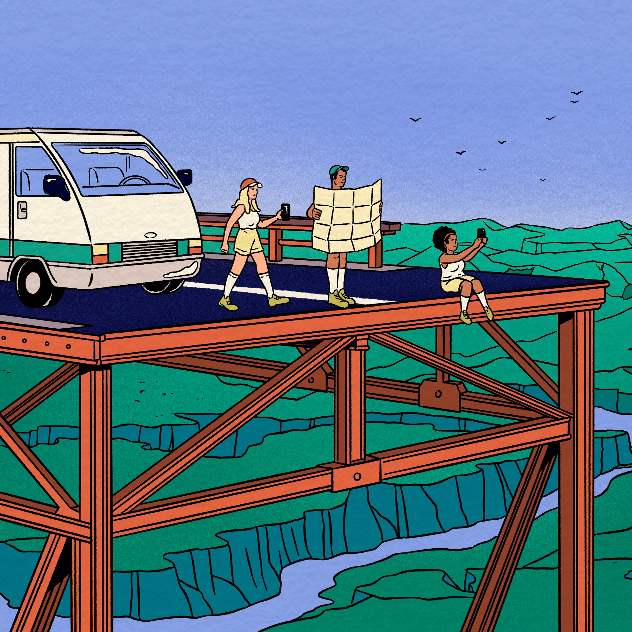
Every map is drawn based on a hierarchy of information: it includes the most relevant details and subtracts the rest based on what the map is ultimately intended for. You could call this lying by omission. Take, for instance, the New York MTA subway map. The is the result of a showdown in the late 1970s between an Italian modernist designer named Massimo Vignelli and a cartographer named John Tauranac. centered on conflicting priorities. was geometric and beautiful: it pared the whole system down to a series of lines on a grid and omitted street names and other spatial features. Tauranac, who was serving as head of the MTA’s map committee, wanted landmarks and fewer conceptual right angles. The debate, which was described in the recent documentary , as “the most controversial of the New York design scene, ever,” on a small stage at the Cooper Union in April 1978. Tauranac won: accuracy over elegant simplicity. It’s the map that is still in use today: a simplified version of the system but with parks, rivers, and other spatial reference points.
A map presents only one of many possible stories. Even Tauranac’s subway map doesn’t show us, for instance, the population density of Rattus norvegicus seen scurrying across the tracks with leftover slices of pizza or the crowdedness of each car. Neither of these information layers are necessary for navigation, even if they are part of the human experience of taking the subway. On the other hand, something like crime statistics or train delays might influence your decision-making in the same way that real-time weather information on a trail-mapping app could affect your route.
Static maps don’t update in real time like this and must sacrifice a holistic representation of place for the sake of clarity. But digital mapping apps now can include multiple layers of information. They allow users to add, eliminate, and organize the relationship between layers of information. A hunting app like OnX can help you better understand the movement of an animal through a given landscape. Others let you in a location or on the way to the crag. Even the MTA recently launched a of a live subway map (based on Vignelli’s original design) that allows you to add a layer for COVID-19 vaccination clinics.
Used effectively, digital maps can illuminate things like how roads might affect elk migration patterns or which cultural, spiritual, and historic sites could be destroyed by uranium mining. Still, these layers can’t show us everything at once, and too much information on a dynamic map will be confusing. A map of Bears Ears National Monument, digital or otherwise, can’t precisely show all of the area’s Indigenous place names, boundary changes over time, species distribution, Native American spiritual grounds, and roads and campsites at once without some comprehension being lost. Not to mention the fact that you’re limited to the frame of whatever device you’re using. It’s hard to look at even a small part of the world on an iPhone screen. In his paragraph-long short story “On Exactitude in Science,” Argentine writer writes of an empire that finally achieves a perfectly accurate map; to do so, they draw one that is the size of the place itself.
We are mostly passive map readers, and many of the stories they tell us go unchallenged. As we navigate the world, we should ask ourselves: who made this map and how, with what sources and what authority? What’s been modified? What’s been left out? To a landlocked elementary schooler, the color of the ocean is the innocuous powder blue of a laminated classroom wall map. The ocean, of course, is not always blue and almost never that specific blue—a light color chosen according to design principles of hierarchy to better make the continents stand out. But we base so much of our geographic imagination, our understanding of Earth, on these visual cues. I still half-expect the ground to change color when I cross state lines.