
How Accurate Is��That 10-Day Forecast?
“Most TV meteorologists make ten-day forecasts without telling viewers that after the first two or three days, it's probably a crapshoot,” says Jack Williams, USA Today's founding weather editor. But long-term forecasts aren't entirely worthless. Scientists can roughly predict daily highs and lows more than a week in advance, and forecasts are more reliable in winter than summer. Saying whether it will rain, however, is dicey until four or five days out, says Shaun Tanner, senior meteorologist at the , an online weather portal. Both suggest a simple strategy to test the reliability of extended forecasts. Let's say you want clear weather for a backpacking trip. Start checking the forecast ten days out, and keep tracking it every day. If it changes dramatically, it's not reliable; if it stays roughly the same, you can trust it. That's because forecasts are tested by running them through a complicated computer model hundreds of times—a technique called ensemble forecasting. During each run they alter one data point (like the position of the jet stream) to gauge how it affects the final result. “If all of these runs converge on the same solution,” says Williams, “it means the weather pattern is stable and the forecast is reliable.”
Weather Tested
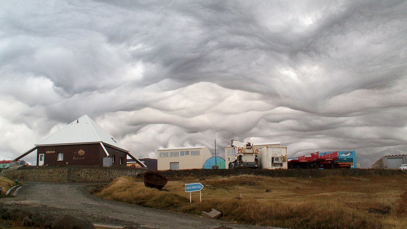
The weather shaping our worldExplain El Niño and La Niña; I’ll Pay Attention This Time
It all starts in the Pacific Ocean off the coast of Peru, where roughly every five years warmer-than-average water temperatures generate El Niño, a global-scale climate cycle. During El Niño winters, expect big snowfalls from Southern California to Texas and drier conditions in the northern Rockies and Canada. (Remember the ? El Niño.) Its opposite is La Niña, in which the Pacific cools down, bringing dry winters to the Southwest and cold, snowy winters to the Pacific Northwest mountains. (East Coast weather isn't much affected, though climatologists theorize that El Niño curbs Atlantic hurricanes.) La Niña and El Niño both last three to five years, but in the past few decades La Niña has occurred half as often. And in addition to switching back and forth, the ocean enters a neutral phase between the two.��
What the Hell Is the Pineapple Express?
Like St. Elmo's Fire, it's a Hollywood movie as well as an actual weather event. The real is a subtropical jet stream of warm, moist air that originates over the tropical Pacific and gets pulled north by pressure differences over the Gulf of Alaska, sending fat-bottomed clouds streaming to the West Coast several times each winter. “It's like a fire hose of moist air pumping two to five times the amount of precipitation you'd get in a normal winter storm,” says Tanner. Since warm air holds more moisture than cool air, this means big snows in the Sierra. It also caused the November 2006 deluge that dumped 18 inches of rain on Mount Rainier National Park in 48 hours.
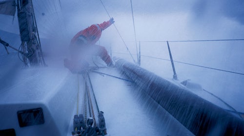
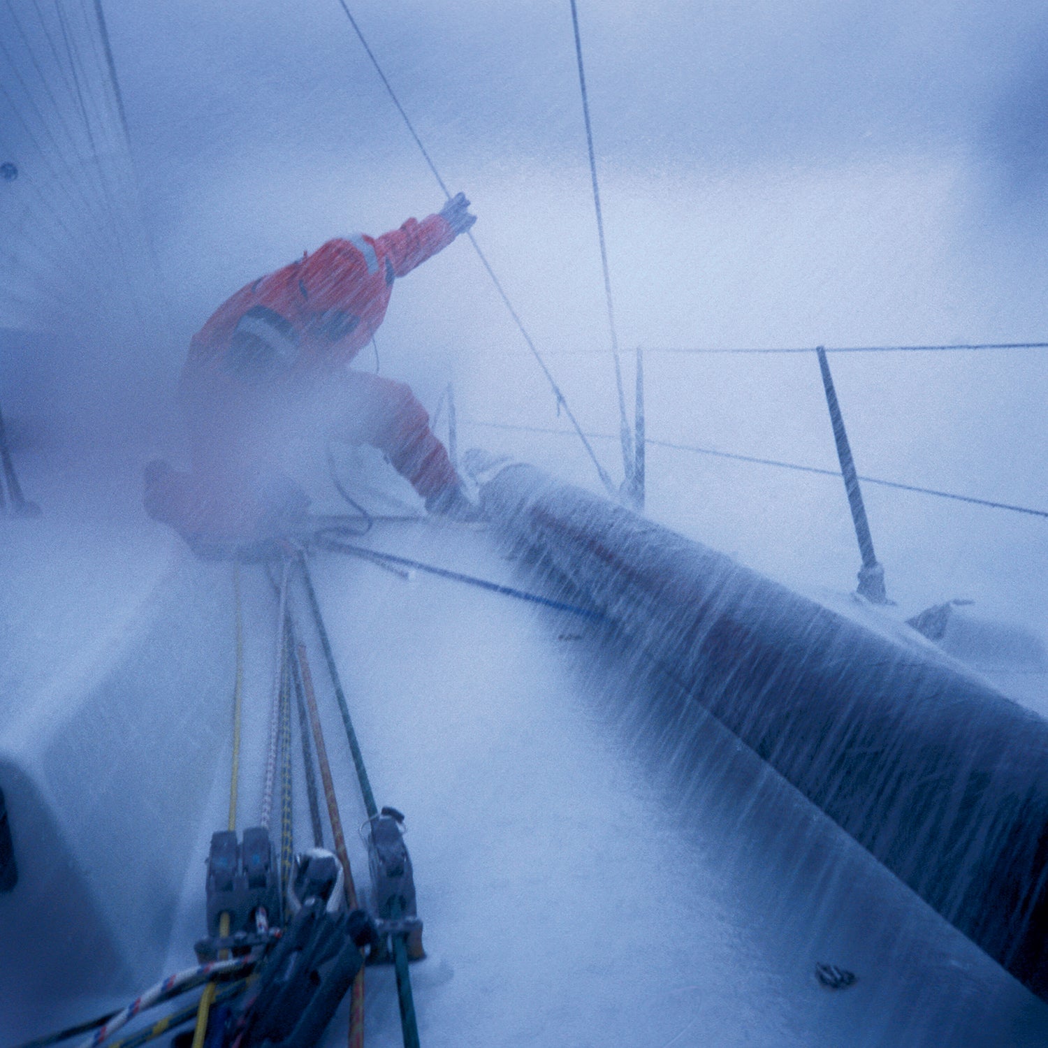
How Is the Everest Summit Window Determined?
Since the 1996 disaster, when eight climbers died in a sudden storm, forecasting on Everest has become serious business. “Prior to that accident, people were not getting forecasts,” says Michael Fagin, president and lead forecaster of , a custom forecasting service. “Getting communications to Base Camp was pretty crude in the late nineties,” he explains. Today, Fagin is the weatherman in chief for most major expeditions each spring. For several weeks before the summit push in late May, he keeps in close contact with team leaders at Base Camp from his office in Washington State, where he analyzes data and satellite images from at least six U.S. and international models. “I'm not always just saying, 'The winds are going to be x.' Sometimes I'll say, 'Boy, given this type of pattern, I have a low confidence in what's going on.' ” Fagin's perfect summit window means light winds, with the jet stream migrating north and the monsoon well south of Everest. Minimal precipitation is ideal, but “forecasting that gets tricky anywhere,” he says.
Does Weather Affect Cell Phone or GPS Reception?
A mean storm can definitely cause dropped calls, but not because the weather is interfering with the microwave frequencies your mobile phone uses (1–3 GHz). Rather, it's that cell towers transmit to each other and to base antennas at higher radio frequencies that occasionally straddle the resonant frequency of water vapor, causing wireless signals to be blocked and absorbed by passing storms. These “backhaul” frequencies can be so sensitive to humidity that researchers in Israel are deploying tower-mounted sensors that can determine which rainstorms are capable of causing flash floods. With GPS devices, it's a different story. They contact satellites using lower-frequency radio waves that aren't affected by rain, clouds, glass, or clothing but can be blocked by dense foliage and buildings that obscure the sky. So trust your GPS during a storm, but keep the unit itself dry: Even a thin coating of water on the antenna's exterior housing can scramble a satellite signal.
Can Cloud Seeding Produce More Snow at a Ski Resort?
“Yes,” says Doug Laraby, planning director at Colorado's Winter Park Resort. “No way,” says the Weather Underground's Tim Roche. Such has been the non-consensus for the past 50 years. Cloud seeding involves bombarding promising clouds with microscopic bits of silver iodide, which are similar to ice crystals, to draw out more precipitation. (Left alone, only 10 percent of a cloud's moisture actually falls to the ground as rain or snow.) It's always been castigated as phony science or, worse, manipulating nature. As part of their ambitious plan to control the weather during the 2008 Beijing Olympics, the Chinese launched more than 1,000 silver iodide rockets to encourage rainfall before the opening ceremonies started. It worked, too—unless, as Roche suggests, it wasn't going to rain that day anyway. Laraby is a believer, citing reports that seasonal snowfalls for areas targeted by seeding increased by about 10 percent—evidence that convinced Winter Park to team up with several Colorado River–based water agencies to boost snowfall along its Continental Divide ski slopes, since more snow means more green lawns somewhere downstream.
How Long After a Summer Rainstorm Do ’Skeeters Go Nuts?
Mosquitoes need undisturbed, standing water to lay their eggs in; after 24 to 48 hours, the eggs hatch into larvae, and four to ten days later a New Jersey bomber takes flight. So if you have a torrential downpour, count ahead seven to ten days; that'll be a good time to stay behind a screen door. Temperatures over 80 degrees also increase mosquito mojo, while readings below 50 degrees shut them down. They prefer shade to direct sun, calm conditions to strong winds. If all else fails, you can try to outrun them; their top speed is 1.5 miles per hour, half the average human's walking speed.
What’s Doppler Radar?
Deployed in the early 1990s, the network of Doppler radars run by the National Weather Service now totals 150-plus stations across the country that track storms and serve as the source of many of the radar maps on TV and the Internet. Underlying all this is the Doppler effect, which dictates that when radar energy bounces off a thundercloud and returns, its frequency changes just enough for a computer to determine not only a storm's location (which any radar can do) but also its velocity and intensity. (It's like how your ears process frequency shifts when an ambulance races by.) Then there's Super Doppler, which is … Doppler with better marketing. Still, truly super Dopplers are coming soon, says Doug Forsyth, chief of radar research and development at the NOAA National Severe Storms Lab, in Norman, Oklahoma: “We'll start deploying dual-polarization upgrades—which can distinguish better between rain and hail—at the end of this year.”
Is There Any Logic to When the Moon Rises?
It's actually simple. A new moon always rises at dawn, and a full moon rises at dusk. That's why we refer to “full-moon nights” and why the movie The Twilight Saga: New Moon is astronomically impossible—not to mention biased against werewolves.
Jason Stevenson is the author of .
How to Avoid Flash Floods in Slot Canyons��
Use your senses—at least the three that can save your life, advises David Black, an American Canyoneering Association–certified guide. Smelling new moisture from rain can tip you off that it's time to get to higher ground. If you're in a naturally wet canyon, look for changes in water level and clarity caused by debris mixing with flood waters. Finally, listen for rapids and grinding boulders: “If it's a big water event,” Black says, “it will sound like a freight train is coming.” If anything seems off, start climbing. You may have minutes, or only seconds. Find the widest portion of the canyon, where the flow is less intense, and hold on to something solid. If you find yourself swimming, take a defensive position—float feet downstream and on your back. Of course, prevention is the best medicine, so get a detailed forecast before heading into any deep, narrow canyons. Black looks at it this way: “If there's a 20 percent chance of rain, do I want to be in there if it's raining hard 20 percent of the time?” —Nick Davidson
How��to��Pick the Right Weather App
- Best for: Skiing�� (free; iPhone)
- Fishing�� ($7; iPhone)
- Tides�� ($2; iPhone)
- Surfing�� (free; iPhone)
- Hiking and Biking�� (free; iPhone)
- Swimming ($2; iPhone)
- Boating�� ($3; iPhone)
- Wind Sports (free; iPhone)
- Aviation ($7; iPhone)
- All-Around (free; Android, iPhone, BlackBerry) —N.D.
How��to��Time a Powder Day
Predicting winter storms is easy; the hard part is knowing whether they'll dump rain, hail, or powdery snow—and how much. It's more straightforward in the West than the East, because storms lumber across the Pacific for several days before slamming into the snow-friendly Sierras. For Atlantic storms, the best powder conditions occur when warmer low-pressure zones, like a stalled nor'easter, remain offshore, reducing the temperature and moisture content of inland snowfalls. Either way, “four or five days in advance, you should have a pretty good idea if you're going to see a snowstorm,” says Weather Underground's Shaun Tanner.
So when to pull the trigger on plane tickets? To travel on Friday, look at storm forecasts for your favorite resorts on Monday and Tuesday. Just after midnight Tuesday (when fares go on sale), pick the most promising powder destination and book your ticket to arrive at least half a day before the dump. Two days before a storm hits, meteorologists can generally narrow its start time to a six-hour window. Within one day, a good forecast can pinpoint the three-hour period when the flurries will fly. Plan to arrive early, however: Flying in a blizzard is nothing like skiing in one. —J.S.
How��to��Understand Your Watch’s Weather Warnings
Your fancy mountaineering watch fixes your elevation and predicts the weather by measuring barometric pressure, or the weight of the column of air above you. The higher you go, the less air there is, the lower the pressure. Likewise, an approaching storm can cause barometric pressure to free-fall hours before any clouds show up. When pressure drops for an extended period and elevation isn't the cause, a watch's storm alarm beeps, or an image of menacing clouds appears. Suunto's new watches give a warning when pressure declines continuously for three hours. But always double-check any storm alarms by scanning the sky. If pressure drops are accompanied by southerly winds, warmer air, and heavier cloud cover, expect rain within 12 hours. If those atmospheric clues aren't evident, your watch's pressure sensor could be acting up. Recalibrate it by inputting the known elevation of a city, airport, or trailhead at your current location. —J.S.