

“Don’t count it out yet,” Klaus Wolter, a research scientist at CU Boulder and the National Oceanic Atmospheric Association’s , told me recently. It was a warm April day in Boulder, Colorado, where the lab is located, and Wolter, an El Niño expert wearing a short-sleeve floral print shirt, seemed excited for the change of season. We were on our way to the “War Room”—an otherwise innocuous conference room save for the large screen on the wall featuring various spinning, crimson-splashed El Niño weather models.
This past winter, Wolter and other members of NOAA’s team met here every day—and even some weekends—to assess Niño 3.4, the area of equatorial Pacific between 170 degrees West longitude and 120 degrees West longitude, where El Niño is born. The weather phenomenon shows up on Sea Surface Temperature models as a bloody gash that stretches to South America’s northwest coast. (Red indicates above-average temperatures.) As the 2015/16 El Niño intensified to historic proportions, so too did the meetings in the War Room.
The Rapid Response Field Campaign was an , involving a hurricane hunter Gulfstream IV jet, a NASA Global Hawk drone, and a research ship that together covered 115,000 miles of Pacific Ocean, from Niño 3.4 to the California Coast. Along the way, they launched over 700 instruments into the atmosphere, amassing never-gathered-before, real-time data on El Niño weather events. Wolter has classified the 2015/16 El Niño as one of the “Big Boys”—late summer water temperatures in the tropical Pacific hit record highs, and initial “postmortem” data suggests it will rank as the third strongest since 1950, behind the 1997/98 and 1982/83 events.
While the crimson gash may be fading to a less violent yellow-orange slice, that doesn’t mean El Niño has ceased its tormenting. As Wolter said: “It’s still twitching.” By analyzing other Big Boy El Niño postmortems—particularly 1997/98’s “Godzilla” event—we can guess at the near future. Here’s a peek for you adventurers:
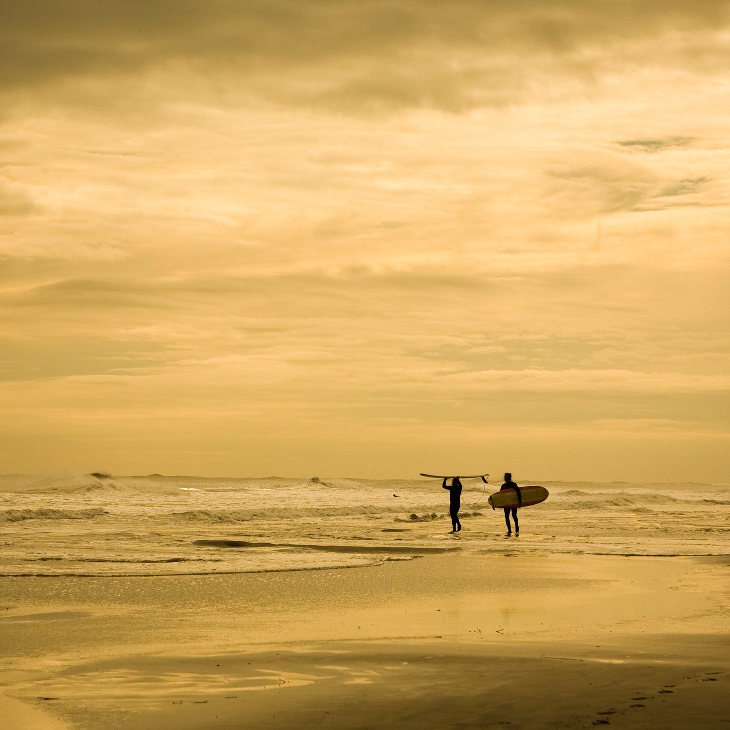
Surfers: An Unpredictable Hurricane Season
Last week, NOAA’s Climate Prediction Center a “La Niña Watch” in Niño 3.4. Historically, La Niñas favor above average Atlantic hurricane activity. Yet last week, Colorado State University their 2016 Atlantic hurricane season forecast, which predicts an average season: 12 named storms. While post-strong El Niño years are all over the map, they usually host that makes landfall somewhere on the U.S. East or Gulf coasts. For example, in the under-active 1983 season (just four named storms), Hurricane Alicia devastated the Houston-Galveston area. But after the truly Godzilla 1997/98 El Niño, the Atlantic went berserk, tallying 14 storms, three of which were Category 3+—including Hurricane Bonnie, which made landfall in North and South Carolina, but sent perfect surf to the Northeast and New England coasts.
Hikers: A Turbulent, Wet Interior
Looking again at the months following the 1997/98 El Niño season—the strongest on record—the Heartland was ravaged by an unprecedented 1,424 tornadoes. In fact, on a single day—May 31, 1998—there were 42 tornados, from Kentucky to Canada. Wolter, whose forecasting focuses on the interior Southwest—specifically Arizona, New Mexico, Colorado, and Utah—is predicting that it will be a wet spring, which is welcome news for the drought-stricken region. He points to powerful snowstorm that dumped several feet of snow across Colorado and in northern New Mexico between April 15-17—just a few days after my visit, when Boulder was bathed in 75-degree sunshine. Increased precipitation can mean flooding, of course, particularly after snow melts and in areas where dry riverbeds are in abundance.
Snowboarders, Skiers: Record Pow?
Precipitation distribution on the West Coast this El Niño winter was just weird. Northern California got a good dose of rain and snow, but not enough to eliminate the drought conditions in the state’s southern regions, where it was unusually dry for an El Niño season. Instead, the wettest events hit the Pacific Northwest, which are historically dry during El Niño events. Looking ahead, we can point to the moderately strong La Niña that began in 1998 and persisted through 1999 and caused a higher frequency of wet and cold weather, particularly in the Cascade Range. Case in point: Washington’s Mount Baker Ski Area saw a record-breaking 95 feet of snow between July 1, 1998 and June 30, 1999.
Ah, But that Climate Change X-Factor
Directly linking human-forced climate change to El Niño, a naturally-occurring weather phenomenon, is impossible right now. But the massive amount of new data gathered by the Rapid Response campaign will support ongoing research that’s looking into how future El Niño events will respond to our warming world. What we do know is that global climate change is accelerating. Last year was the hottest on record, and that trend helped cause the horseshoe-shaped western edge of Niño 3.4 to be much warmer than usual for an El Niño event. Also, the first few months of 2016 have not just been the warmest on record, . The question then is perhaps not how much more wild the weather will become in 2016, but if wild will be the new norm—El Niño or not.