


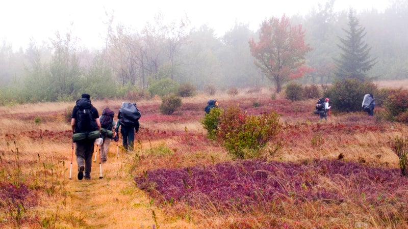
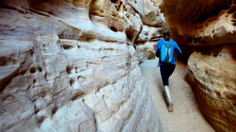
If you’re thinking about tackling the Appalachian or Pacific Crest Trails this year, you might want to revise your plans. �ճ����, which monitors the AT, is expecting record numbers of thru-hikers this year, thanks to the popularity of movies featuring thru-hikes, like Wild and the upcoming film adaptation of Bill Bryson’s popular 1998 book, , about two middle-age men hiking the AT. The Pacific Crest Trail Association already noted a dramatic between 2013 and 2014.
To combat overcrowding, the Appalachian Trail Conservancy has asked hikers to begin their treks between April 15 and the first week of May, rather than the usual March and early April. It’s also asking that hikers voluntarily register, begin midweek, and consider to ease the . So ask yourself, do you really want to conga-line your way up either of these trails? Doubtful. And you don’t have to: Check out these other bucket list–worthy thru-hikes, most with a fraction of the traffic of the AT and PCT.
Great Eastern Trail
Distance: 1,600 miles
Best time to start: Early spring from the south
Estimated completion time: Four to six months
The remains one of the country’s best-kept secrets. Starting in Flag Mountain, Alabama, and ending in the Finger Lakes of New York, the GET runs parallel to the AT from Tennessee to northern Pennsylvania and intersects with it at one point in West Virginia. With similar terrain at a lower elevation and a lot fewer people, the GET offers the remote experience that made the AT famous in the first place. It’s also brand new—the trail’s first end-to-end thru-hikers completed the journey in 2013.
North Country Trail
Distance: 4,600 miles
Best time to start: Early spring from the east
Estimated completion time: Eight to 10 months
The stretches from New York to North Dakota, passing through seven states and 10 national forests along the way. It’s more than double the length of the AT and takes trekkers through a northern region much less visited by the masses. The NCT is known for its diverse landscape, which includes the Adirondack Mountains in New York; the Northwoods forests of Wisconsin, Minnesota, and Michigan; the shores of the Great Lakes; and the prairies of North Dakota. Plan to finish your hike in the fall, when the northern states flaunt their bright foliage.
American Discovery Trail
Distance: 6,800 miles
Best time to start: Given the long nature of this trek, you will inevitably encounter winter. Starting in California in the early spring ensures crossing the western mountains in the warmer months but may leave you underwhelmed afterward as far as scenery goes. Many head out in early spring from Delaware and wait out bad winter weather.
Estimated completion time: 18 to 24 months
The granddaddy of all thru-treks, the runs from Delaware to California, linking the Pacific and Atlantic Oceans and passing through 15 states. The trail has some quirky perks, such as following greenways to pass through major cities like Washington, DC, Cincinnati, Denver, and San Francisco. While the scenery can be very good through California, Utah, Colorado, and the 14 national parks it traverses, walking through rural Middle America—Kentucky, Indiana, Missouri, Nebraska, and Kansas—can feel mundane as the miles pile up. The true draw of its completion comes from the novel notion of having crossed the entire country by foot.
Continental Divide Trail
Distance: 3,100 miles
Best time to start: Early spring from the south
Estimated completion time: Six to eight months
Running from the southern border of the United States to the border of Canada inside Glacier National Park, the follows the Continental Divide through New Mexico, Colorado, Wyoming, Montana, and Idaho. Established in 1978, it is the highest and most difficult of America’s National Scenic Trails and one of the three trails hikers tackle to complete the country’s “Triple Crown” (the PCT and AT are the other two). It’s also the one with the least wear and tear. The latest stats show that while thousands of people attempt the AT each year, only take a crack at the CDT from end to end. One of the most spectacular parts of the trail is the Weminuche Wilderness in Colorado, which winds above treeline and through high, glacial valleys, but be prepared for potential icy conditions. Brush up on your history to fully appreciate traversing the Lewis and Clark Pass in Montana.
Desert Trail
Distance: 2,200 miles
Best time to start: Late winter/early spring
Estimated completion time: Six months
�ճ���� snakes from the Mexican border in California though Nevada, Oregon, Idaho, and Montana to the Canadian border in Washington—but only 300 of the 2,220 miles of have been mapped out (the portions through Nevada and Oregon). Still, intrepid trekkers can tackle the uncharted segments using unofficial maps and other hikers’ . If you can handle the lack of concrete directions, you will be rewarded with some of the country’s most unique scenery. The walk features some intimidating yet pristine high-desert terrain, including sections through the Mojave Desert, Death Valley, and Black Rock Desert.
Honorable Mention: Ice Age Trail
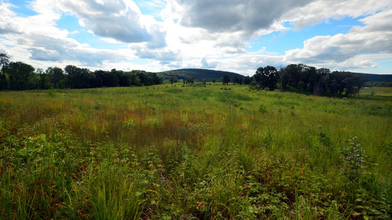
The shows off Wisconsin’s glacial roots, following the moraine line of the last ice age for 1,200 miles across the state. It’s still a work in progress, with only 50 percent complete, but the Ice Age is a worthy option for section hikers looking for something different this summer.