

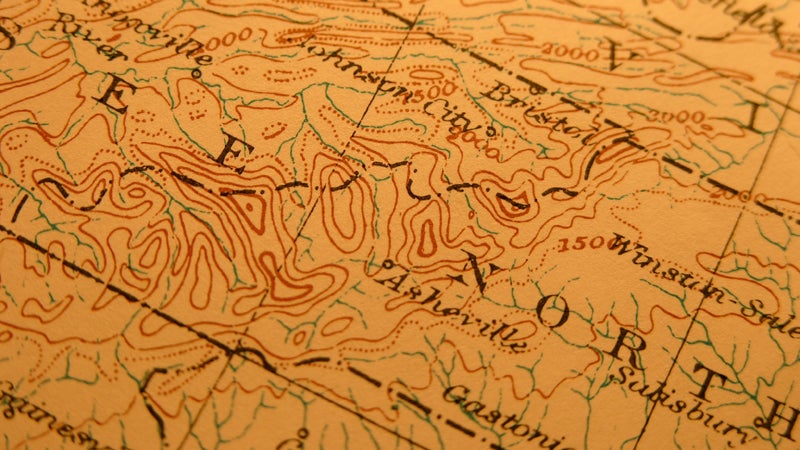
Tennessee, North Carolina, and Georgia have the biggest mountains among the 14 states on the Appalachian Trail.
 The southern portion of the Appalachian Trail.
Although the promise of southern temps might draw spring break hikers to Georgia, sleet and snow are common here in March. Georgia is better hiked in the latter part of April and May.
�ұ�ǰ�������’s is the southern terminus of roughly 2,180-mile AT, where hikers can sign the trail register. But beyond being the site where many great adventures begin, Springer doesn’t rank high among trail destinations.
The rest of Georgia, however, offers spectacular hiking through the rugged Chattahoochee National Forest. Hikers summit 4,459-foot Blood Mountain, the highest peak in this section. Hikers also pass through—literally—, a store at Neels Gap. Laurie Potteiger, information services manager for the Appalachian Trail Conservancy, lauds the outfitter, which caters to through-hikers.
The straddles the North Carolina-Tennessee state line. The 70-mile-plus stretch is divided by two road crossings, so section hikers can take in the whole park or a smaller slice, depending on their ambition and the length of their trip.
A diversity of plant and animal life thrives in the Smokies, where there’s a feeling of remoteness. A hike here brings steep climbs that pay off with 100-mile views from the top of Clingman’s Dome, the highest point on the AT at 6,625 feet, and panoramics from Charlie’s Bunion, another notable peak.
Although the landscape is wild, the management of it isn’t: Hikers must purchase a permit in advance to stay overnight and must make reservations at the group shelters. Take advantage of these in the spring and fall; high elevations here mean snowfall is possible as late as May and as early as October. The exposed, high-elevation ridges are vulnerable to extreme weather year-round, so trekkers should pack accordingly.
Lastly, Potteiger recommends the , also along the North Carolina-Tennessee state line. This portion is notable for a spruce-fir forest and a stretch of grassy balds—high-elevation Appalachian ridges where warm temps keep alpine forests from growing. A suitable section hike runs from the town of Erwin 50 miles north to where the AT intersects with U.S. 19 E. Potteiger warns against leaving a car near the highway here, as the area has a history of vehicle vandalism.
The is a useful guide to pick-up for planning—especially for choosing between trail sections.
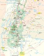
For a visual of the routes mentioned above, check out the .
See also: