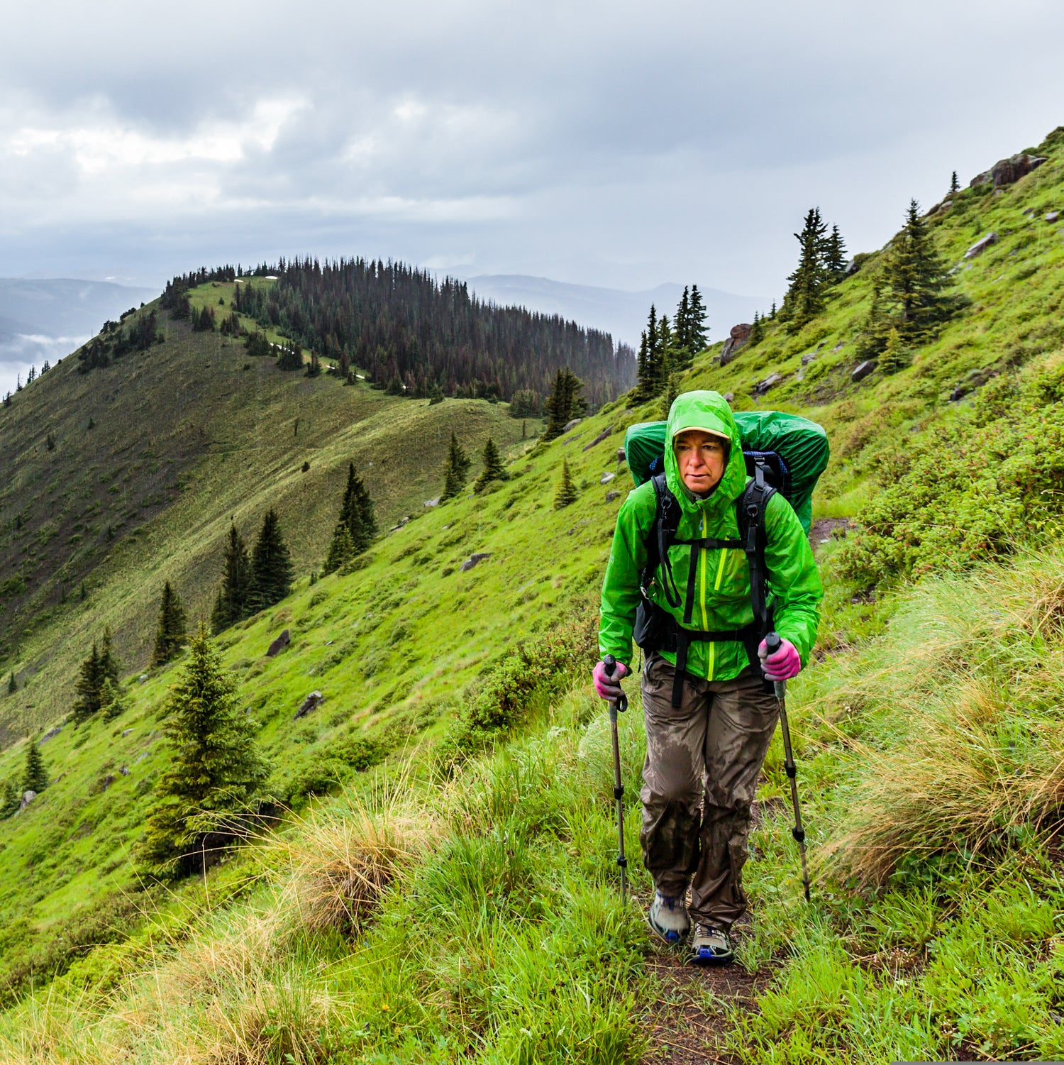
The inside of a minivan might seem like an odd place for a thru-hiker epiphany. But that’s where Teresa Martinez found herself when she came up with a campaign to add permanent markers along the 3,100-mile Continental Divide Trail.
Martinez is the executive director of the Continental Divide Trail Coalition (CDTC), a Colorado-based nonprofit that supports the many volunteers and agencies that manage the CDT. In the fall of 2016, she and a couple colleagues were driving from Colorado to New Mexico on one of their regular road trips to meet with trail angels, tribal councils, federal officials, and mayors whose towns sit along the CDT. Of course, Martinez always likes to get out on the trail as well.
On this particular trip, the conversation turned to the CDT’s sign problem—too many in some places, too few in others, and long stretches that had never been signed at all. Martinez proposed a push to put new markers along the entire trail by the end of 2018, which marks the 40th anniversary of the CDT’s designation as a National Scenic Trail. As the minivan drove down I-25, she and her colleagues grew more and more excited. They brainstormed how the idea could actually work, finally settling on a big crowdsourced campaign where hikers and trail lovers could pitch in and put up signs. They settled on a name: . “We were joking how that takes on a totally new meaning if you’re in Colorado,” Martinez says with a laugh.
Now, after a lot of preparation, the CDT is finally getting blazed this summer, and that’s a big deal for a trail that sometimes feels like the overlooked member in long-distance hiking’s triple crown. (Disclosure: My wife is editing a book with the coalition, which is how I first learned of the project.)
The CDT is younger and less established than the Appalachian and Pacific Crest Trails, but it also offers a different experience. The CDT traces the Continental Divide from Mexico to Canada, crossing through some of America’s best scenery, like Carson National Forest, Rocky Mountain National Park, Yellowstone National Park, and Glacier National Park. Then there’s the divide itself. There are places along the trail where you can watch as two watersheds slope downward, one heading east and eventually to the the Atlantic Ocean and the other running west toward the Pacific Ocean.
Still, the most striking thing about the CDT is its remoteness. There aren’t many communities along this trail, and the few that exist are small. There aren’t many hikers—about one-third of the number on the PCT or AT—perhaps because the trail is so taxing. The PCT, for instance, features just a handful of passes where the elevation exceeds 10,000 feet; the CDT stays above that level for basically all of Colorado.
But what is often most astonishing to new hikers is the stark landscape. The CDT’s southern tip begins in New Mexico’s arid boot heel, and after the coalition’s shuttle drops hikers off, the shock is immediate. “You see people’s faces as the shuttle leaves,” Martinez says. “Like, ‘Oh my God.’”
The CDT has seen some big changes in the past few years. Before the 2009 Public Lands Omnibus Bill passed, which designated lands and funds for conservation, parts of the trail ran along highways or two-track dirt roads. Today, 95 percent of the CDT is protected, which makes for more solitude and better views.
But long stretches still lack any kind of marking, and that can cause trouble even for experienced hikers. “I’ve been doing this for a long time,” Martinez says. “I worked on the AT for 20 years. I’ve worked on the CDT for 11. And I’ve been on the trail with and maps and still gotten lost.” In the San Juan Mountains, Martinez says, hikers sometimes mistake a well-worn sheep trail for the CDT; in Montana, it’s old forest roads. “It isn’t uncommon to hear about people who’d hiked for half a day before they realized they were not on the trail,” she says.
Blaze the CDT will fix that. With funding from the Forest Service, REI, Osprey, and PPM, a printing company based in California, the CDTC hopes to put up about 10,000 signs along the trail, most of them 3.5-inch aluminum triangles that will be nailed to posts and trees. (The signs feature a blue center, a nod to the DIY markers that began cropping up on the CDT in the 1960s, when locals would wash out tuna cans, spray-paint them blue, and use them to trace the trail.) The CDTC also hopes to recruit an army of volunteers to install those signs. On , you can see hundreds of miles that still need blazing, including big chunks in Wyoming and Montana.
Even if you’re interested in other areas, there’s still a chance to help. “As soon as possible,” Martinez says, “people should reach out by on our website. We’ll be in almost immediate response.” The CDTC can provide some online training and a pack with hammers, nails, signs, and a 14-page “marking guide” that it crafted with input from the National Park Service, the U.S. Forest Service, and the Bureau of Land Management. Martinez says her organization will try to accommodate most schedules, and she loves the idea of strangers walking and working on the trail together. “We want to sign it with as many people as possible,” she says.
The CDT Coalition hopes its campaign will create momentum for future projects, including more prominent signs at trailheads and road crossings. But given the CDT’s fledgling status compared to the more developed trails, even a 3.5-inch marker represents a big opportunity. As Martinez says, “This is the trail our generation gets to influence.”


